
Nearmap
AERIAL IMAGERY, LOCATION CONTENT AND DIGITAL ELEVATION DATA
6/6-8 Underwood St, Sydney, New South Wales, 2000
COMPANY PROFILE
Nearmap brings the real world to you. Nearmap captures, manages and delivers the most current location content in the world, allowing businesses and governments to explore their environment easily.With Nearmap, organisations unlock opportunities that consistently inform decision making and transform the way they work.
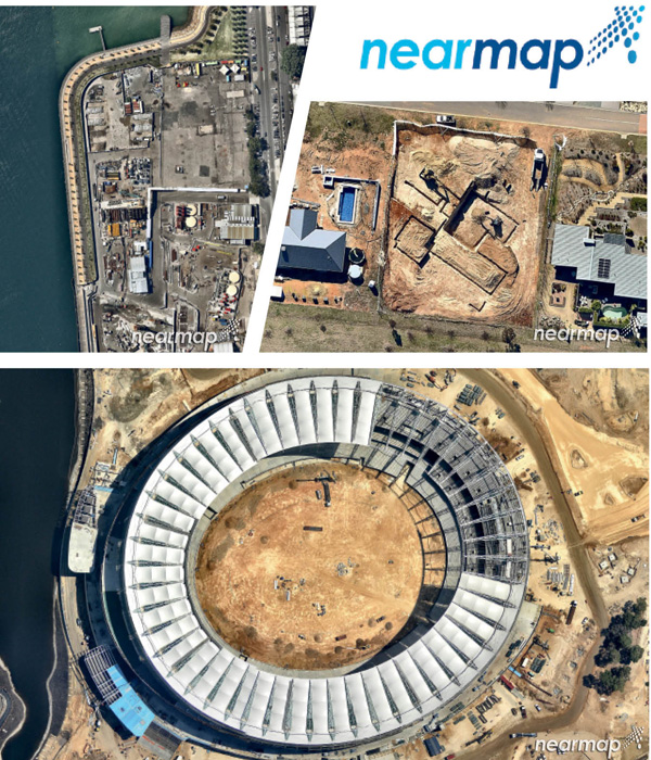
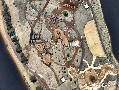
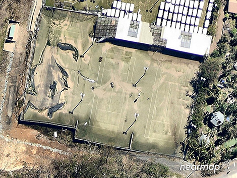
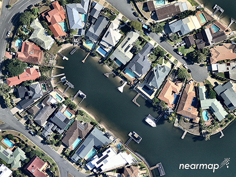
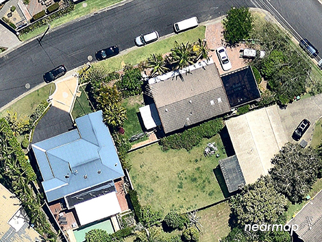
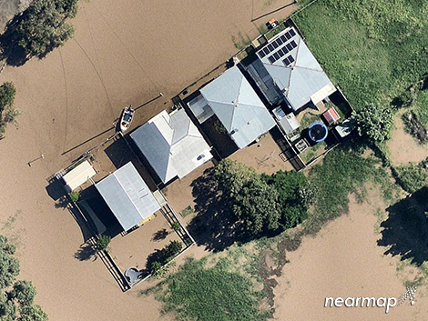
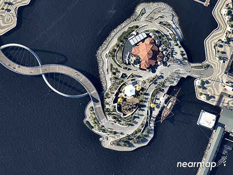
Nearmap's high-resolution, frequently updated aerial imagery is 7cm GSD - better than satellite imagery. Delivered within days of capture, Nearmap shows changes over time. Users save time and money, reduce site visits and make better informed decisions with current, clear imagery.
Nearmap is delivered through Nearmap's web-based MapBrowser application or accessed via Esri® and Autodesk products.
PRODUCTS AND SERVICE
Nearmap provides frequently updated high-resolution aerial imagery that aids businesses to identify and prepare for hazards, check site condition and access, and plan with confidence. The company provides a range of services in order to facilitate ease of access to images and specifications for project sites and areas.
BENEFITS
Monitor and Validate | Effectively monitor projects to ensure they are on track, and validate past data and 3rd party source material
Prepare Quotes and Estimates | Reduce the amount of time it takes to prepare quotes and estimates quickly and with confidence
Generate New Business | Find sites that are fit for your products and services quickly and with confidence
Plan and Inspect | Create detailed plans by accessing more vivid, up-to-date information about a location of interest
Assess Risk | Assess risk by having access to current and historic high-quality visuals and estimation tools
Communicate and Visualise | Communicate effectively to colleagues or customers with high-quality imagery and relevant information
SERVICEABLE AREAS
Australia-wide

Reduce Site Visits with Aerial Imagery
Nearmap aerial imaging technology helps your team spend less time and resources on site. Learn more...

Must-Have Planning Insights
High-resolution aerial imagery has proven invaluable to designers and developers across a range of i...

Grow Your Business with Aerial Imagery
Nearmap are giving ODS subscribers a helping hand to grow their business with aerial imagery service...

Nearmap ODS Offer
Nearmap captures and delivers the most updated aerial imagery in the world, allowing businesses to e...